Google maps are slow to load - wait for colored pins to show
View Allen County, Indiana Cemeteries in a larger map
Click yellow Monroe Township push pin to see cemetery names.
Brown Chapel
Brown Family Cemetery
Near 15045 Whittern Road, 0.25 mile north of the Barkley Road
Earliest date 1849. No longer used. IN DNR Latitude 40.9248 Longitude 84.88 put the cemetery near S. County Line Road. Google has Latitude 40.939614 Longitude -84.879856.
Earliest date June 3, 1833. Well maintained. No longer used. The church book can be found at St. Mark Lutheran Church, Monroeville, IN. IN DNR Latitude 40.9475 Longitude 84.8242.
Mary Penrose DAR page states This cemetery no longer exists. The stones were located on the farm of Henry Knefelkamp. The transcriptions are from the 1932 DAR readings. The stones could not be located by the Allen County Genealogical Society in 1980.
Anne, wife of G. T. Edwards died 18 March 1858, aged 26 years, 1 month, 3 days. Maria, wife of G. T. Edwards died 18 August, 1847, . No information on the locations of these stones or what happened to them. If you know please Contact Allen INGenWeb.
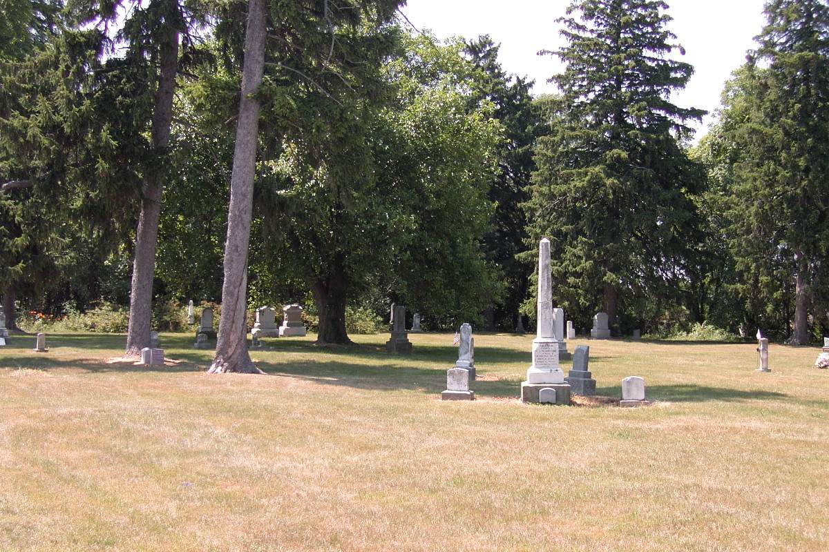
Incorporated September 29, 1887. Earliest date 1860. Well maintained. Still in use, with new sections being developed. IN DNR Latitude 40.9647 Longitude 84.8642.
SCHLEMMER (SLEMMER) Family Cemetery
aka Hoffman Cemetery
Northeast corner of the Hoagland and Lortie Roads
The first death was that of Mrs. Peter Schlemmer, who died in 1843. She was buried on the farm of her husband, on Section 21. Several other deceased residents of the township were interred on the same farm in later years, but the land was never actually set apart for cemetery purposes.
Earliest date 1843. No longer used. No burial records. IN DNR Latitude 40.9511 Longitude 84.8425 puts the cemetery slightly east into the cultivated field.
The DAR page says In the orchard, beside the brick house on the farm. Now McArdle Road and Washington Streets in Monroeville. and The Whittern and Salway (Solway) family members have all been removed to the Monroeville Memorial Cemetery. Although their page list does not match any names with tombstones at the Monroeville Memorial Cemetery. If you know what happened to the tombstones in this cemetery please Contact Allen INGenWeb.